Hello everyone,
I was wondering to know if there is a possibility of rotating the boundaries of a geological or numerical model?
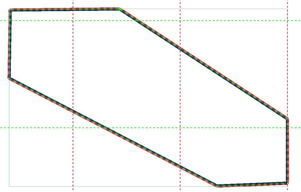
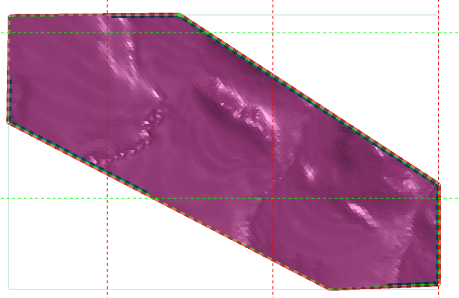
The boundaries are currently defined by E-W and N-S axes, but the terrain or our area of interest is neither square nor rectangular and almost never follows N-S or E-W axes. Indeed, the orientation of our data may not correspond to a NSEW square or a rectangle, which makes it impossible to obtain an accurate model. We must therefore either reduce the size of the model or extrapolate beyond our data.
Here’s a little drawing that’s worth a thousand words.
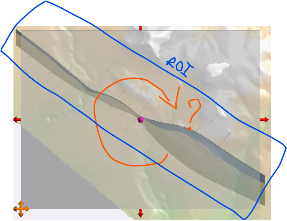
So, is there a way to rotate the boundaries so that they fit the size and orientation of our workspace better?
Regards,
François