
Precision planning challenge: Put your project on the map!


In Session 4, I am going to show you how to rapidly design targeted, cost-effective drilling campaigns using Leapfrog Geo’s newest drillhole planning tools. Once we wrap up, I want you to put these new skills to the test and have some fun with our next challenge!
Here’s how you can participate in the challenge:
- Get the demo data: Download the files HERE.
- Open a fresh project: Start with a clean slate in Leapfrog Geo.
- Import topography: Set the stage by bringing in your topography.
- Import precision planning collar point: Import the collar point into your points or polylines folder.
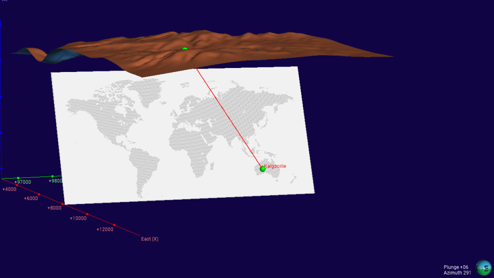
- Import the world map: Import the
world map.mshfile into the meshes folder. - Import the GIS map: Import the
worldJPEG file into the GIS data maps folder. - Drape your map: Drape the world map onto the world mesh.
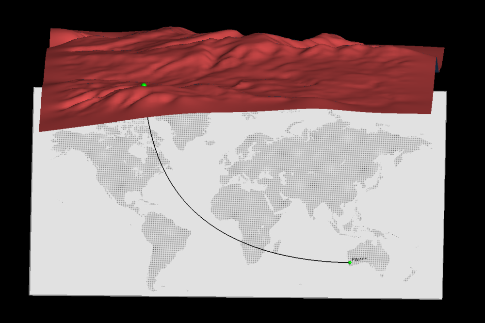
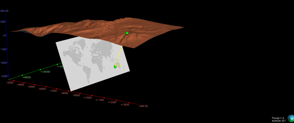
- Plan your drillhole: Using LF's New Collar & Target Mode, design a drillhole to intercept your location!
- Share your work: Take a screenshot of your draped map and post it in the comments below!
We’ve got some Seequent merchandise packs up for grabs for the first 20 people who share their screenshots.
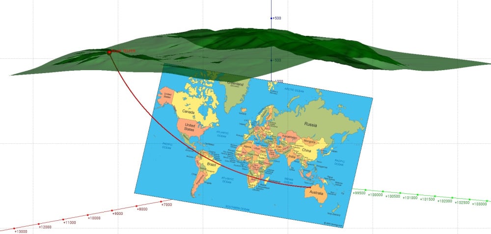
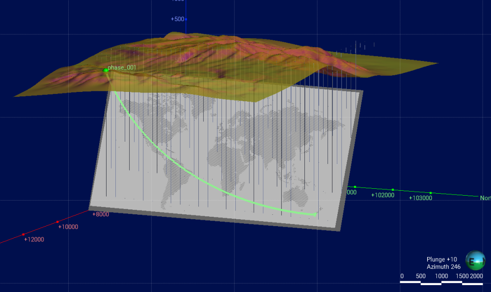
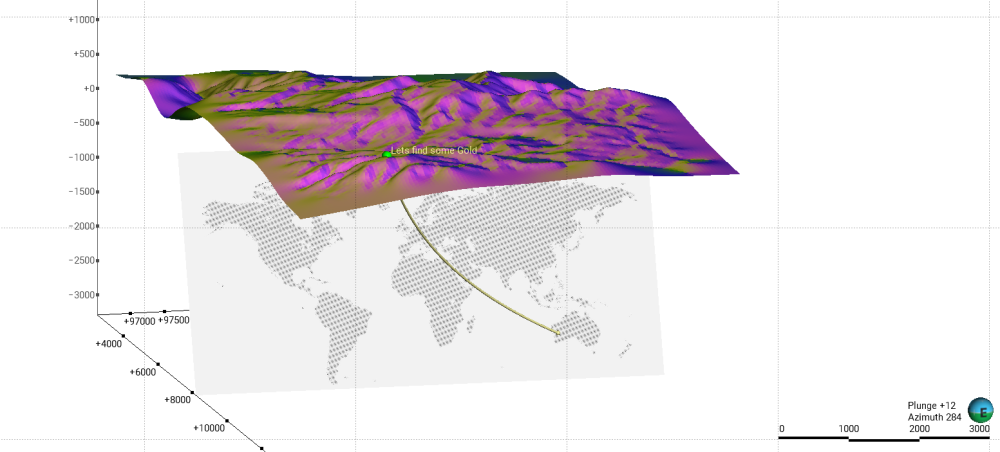
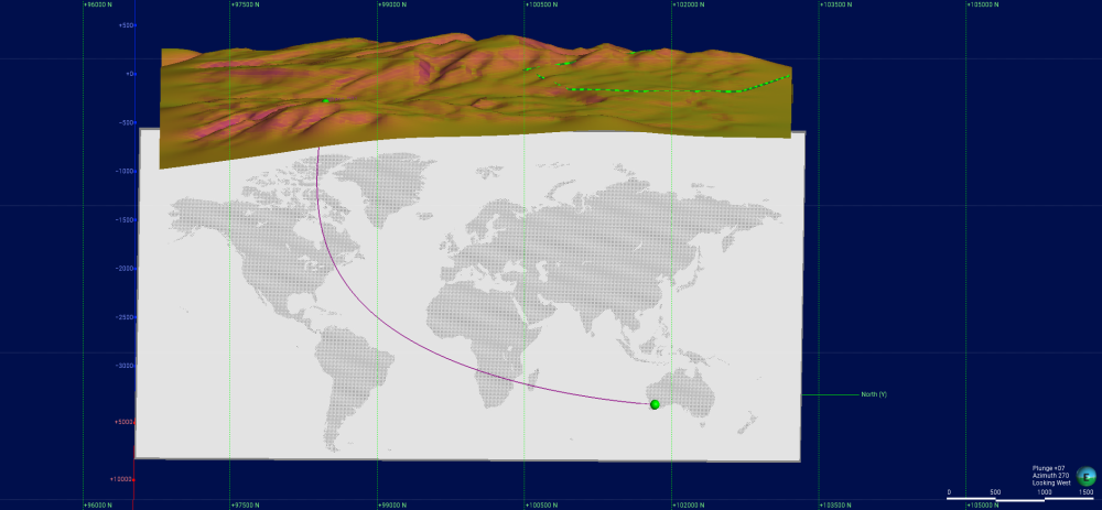
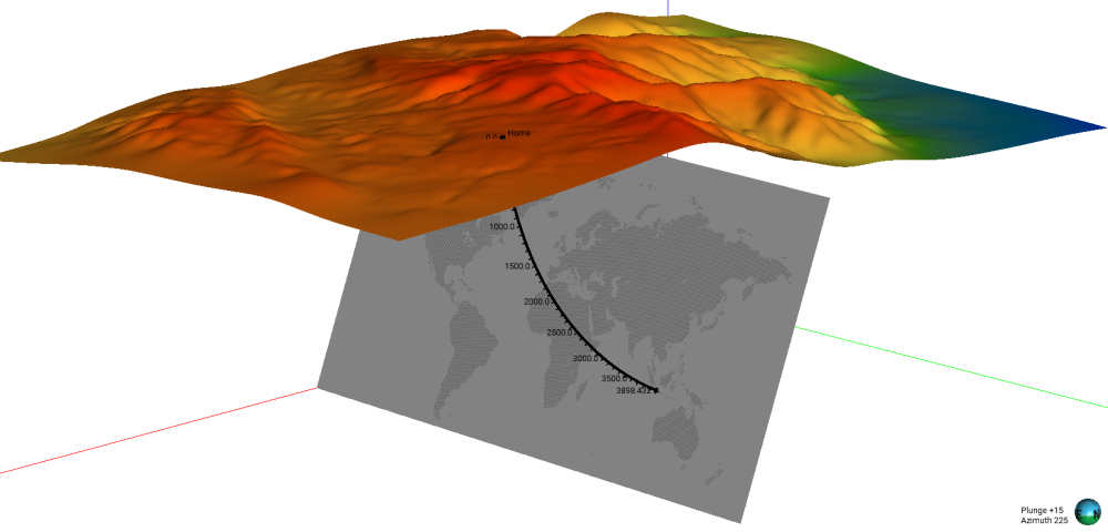
Give it a go! I’m excited to see what you come up with after the session (example below!)
Comments
-
Excited to see where everyone is tuning in from!
4 -
-
This is so cool ! Thanks @AndresAlemanVilla Todo Bien!
0 -
-
-
-
There had to be at least one from Kal! Thanks @JethroGuinto !!
2 -
Thanks @michaellaWard ! Perth ain't too bad at all !
1 -
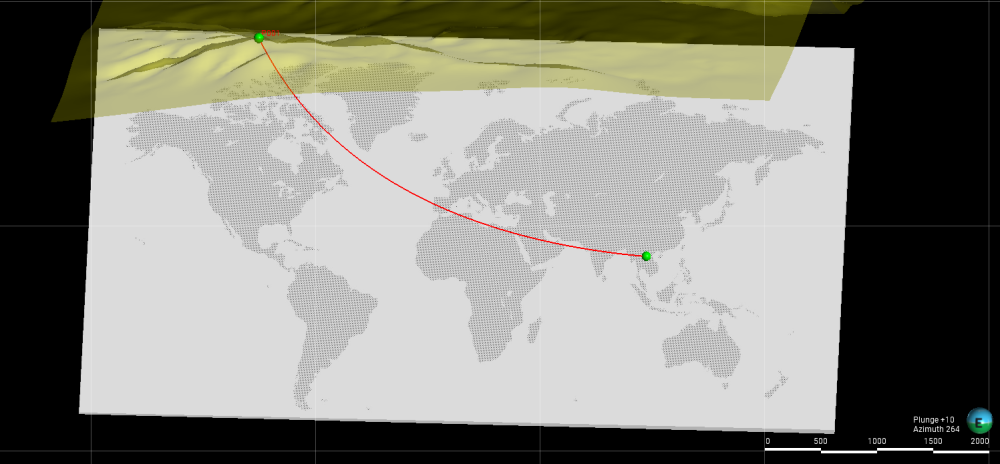
Awesome design @EmmaArcilla ! Our colleague and LF master @JoelVergunst was in Laos recently running some Leapfrog training! Lovely part of the world! Thanks!
2 -
-
-
Very nice @GlostonReveredo ! you found a better map than mine!! Hope all is well mate!
1 -
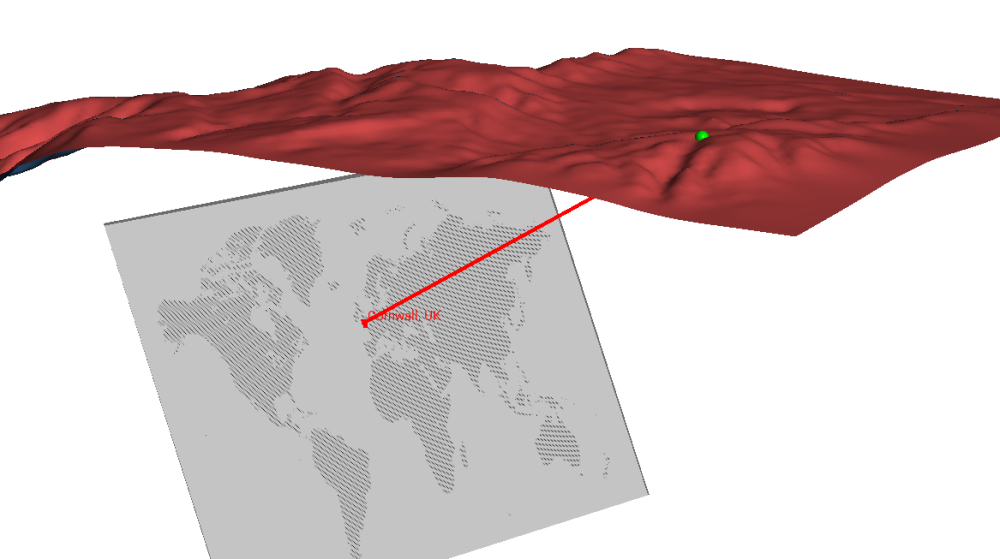
@ThomasRussell WOW Cornwall!! Must say I was not expecting one from the UK ! I heard there's not bad surf in Cornwall!!? Well done on the Challenge!
2 -
World class!
1 -
-
Nice one @SimonRobinson2 ! Lots of cool stuff happening down there!
0 -
-
thanks @SarahKynaston ! Yes, it was a highly anticipated feature!
0 -
-
-
Selamat siang @RAhmadFauzanWiraprad ! Thanks for sending this drillhole through!
1 -
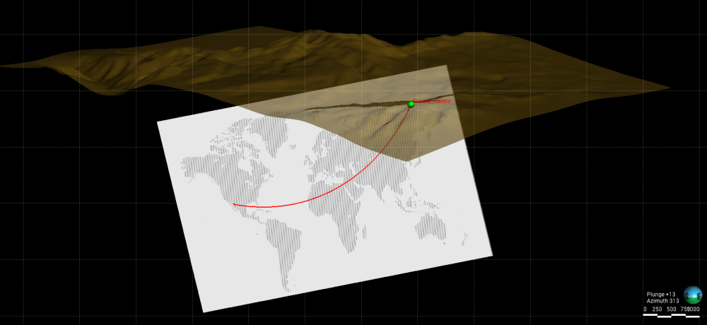
@AndresAlemanVilla @EmmaArcilla @JethroGuinto @michaellaWard @ThomasRussell @GlostonReveredo @SimonRobinson2 @SarahKynaston @HudsonBrewBoahene @RAhmadFauzanWiraprad - we have loved seeing your maps and where you're tuning in from! We really went global with this one:
🇲🇽 Mexico
🇱🇦 Laos
🇦🇺 Australia
🇬🇧 United Kingdom
🇳🇿 New Zealand
🇮🇩 Indonesia
Thank you all for taking the time to participate. Keep an eye out for your reward pack redemption links in your inboxes.
We hope to see you at the next one!1 -
Hi @ShaunDavis
Drape your map:Drape the world map onto the world mesh. is it a right clic on worldmao mesh then drape image and then choose the image? because i can't the image drapped on the word mesh.
0 -
Hi @ShaunDavis, thank you for the session and pardon me for the late submission :).
Greetings from Ghana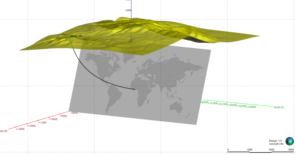 1
1 -
Your map looks great @EmmanuelDadson! Thank you for sharing it with us, all the way from Ghana! 🇬🇭 Have a look in your inbox for a link to redeem your reward pack.
1 -
Hi @RosieGalligan,
I have received my reward pack and I love it😊! Thank you, @SeequentCommunity. Much appreciated!
1





Categories
- All Categories
- 290 Community
- 16 Latest Releases
- 16 Member Spotlight
- 1.1K Products
- 565 Geology
- 538 Leapfrog
- 1 Volsung
- 26 Visible Geology
- 36 Data Management & Collaboration
- 14 MX Deposit
- 13 Central
- 9 Imago
- 136 Geotechnical
- 136 GeoStudio
- 332 Geophysics
- 321 Oasis montaj
- 1 Workbench
- SPIA
- 10 Res2DInv & Res3DInv
- 3 Evo
- 27 GX Developer