Drill design
Hi all,
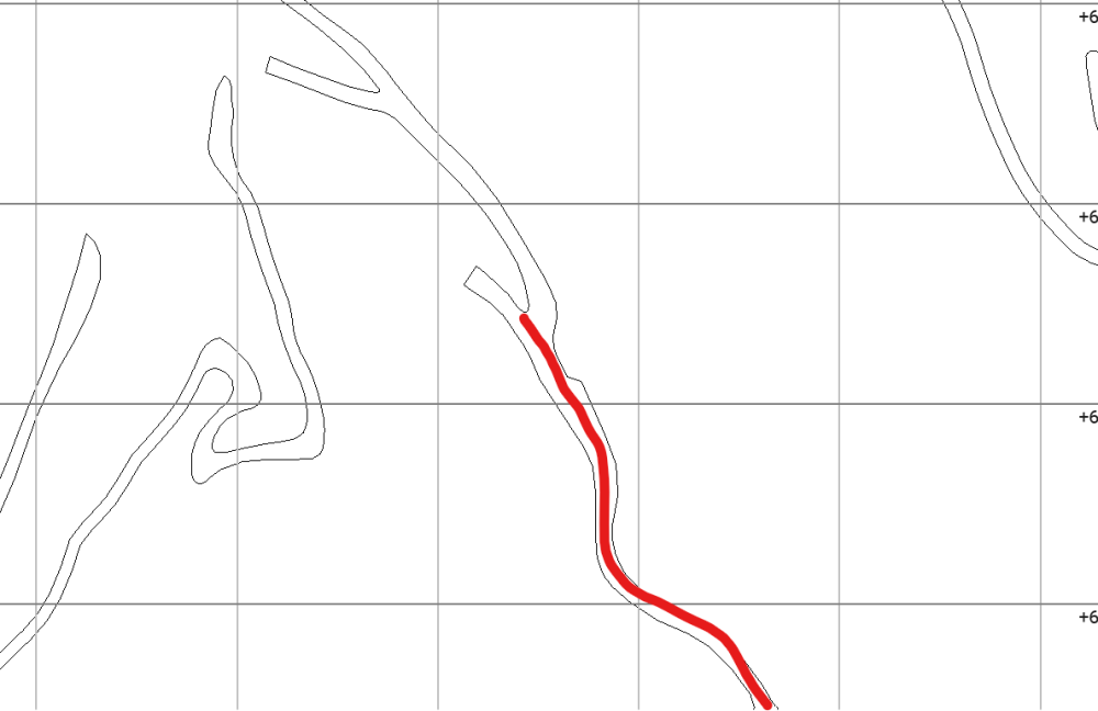
I’d like to incorporate surface logging using outcrops exposed along the roads. To make this process more continuous and integrated into the current workflow, I was thinking of converting certain road segments into drillhole traces.
Do you have any suggestions or ideas on how best to approach this?
Thanks in advance!
Answers
-
What you are describing is essentially how trenches and geotechnical line mapping is handled. You record your mapping as a collar (where you start), and the survey table goes in a straight line until you change direction. You need to tick the 'trench' tick box in the collar table to make sure that you desurvey correctly, using simple tangent, if you take this approach. Then you just add an interval table to reflect your lithologies or other features of interest and treat it as a drillhole. Be careful of two things, 1) you may run into boundary filter problems, and need to treat your topography as an erosional surface to make sure data is incorporated correctly, and 2) your 'not-drillholes' are carefully designed to ensure that they actually reflect the positions of contacts accurately, without contradicting other data. There are a variety of approaches to making the drillholes, but generally speaking people do it in a GIS package, drawing out what they want, and then calculating the vector and length of each line segement. It can be tricky to get the 3D aspect though… Honestly, I think this is more trouble than its worth, and would just draw in my mapping and plot my contacts, but YMMV.
0 -
Hi, and thanks! I need to design a drill follow to the road, for incorporate directly in a platform like acquire for the geologist could be logging directly and avoid using a point in the space. I saw in the past a project there are using bench mapping as a drillhole.
0 -
Then you are following exactly in how trench mapping is recorded. The easiest way to do it may be to use a DGPS to record the 'collar' and then the locations where the 'survey' changes orientation. If you label each of these waypoints carefully it should be relatively easy to use a script or GIS tool to calculate the 'survey' between each waypoint. Your lithology can then be recorded as from/to, or distance along mapping line. That shouldn't be too hard to setup.
1

