project collar on topography


Hello,
I hope someone can help me. I would like to know how leapfrog project collar on topography vertically or along dip direction?
Answers
-
It's vertically
1 -
it is possible to project along the hole? the second case
0 -
You could probably figure out a way to do it in GIS, but not in Leapfrog, based on using the first survey measurement as a vector. Why would you want to project the collar inline with the drillhole? Survey errors are typically significantly higher in Y, and I've never come across a situation where I needed to do this.
1 -
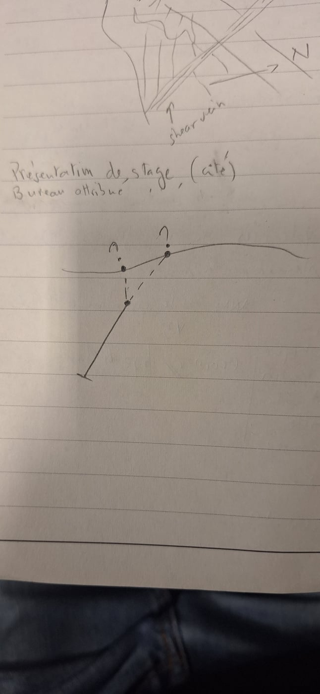
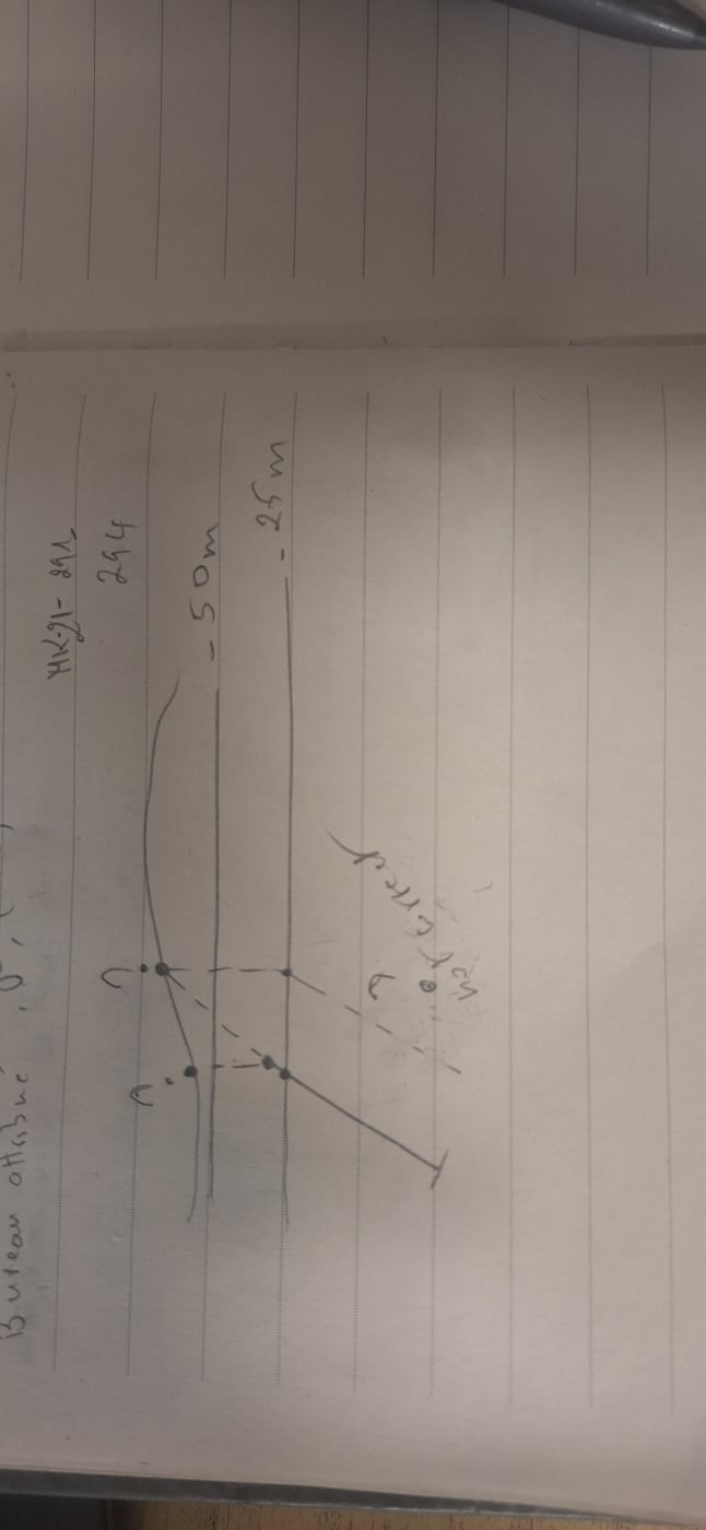
Imagine you are dilling for grade controle starting at top of that topo along the drillhole (the back quotation mark) and now they mine ore and reach level -25m . for the second program at level -25m you need just to reproject hole from the top on -25m topography , if leapfrog project vertically the from the top to -25m . it is not correct because at -25m the drillhole reach a certain depth with an angle.
 0
0 -
 0
0 -
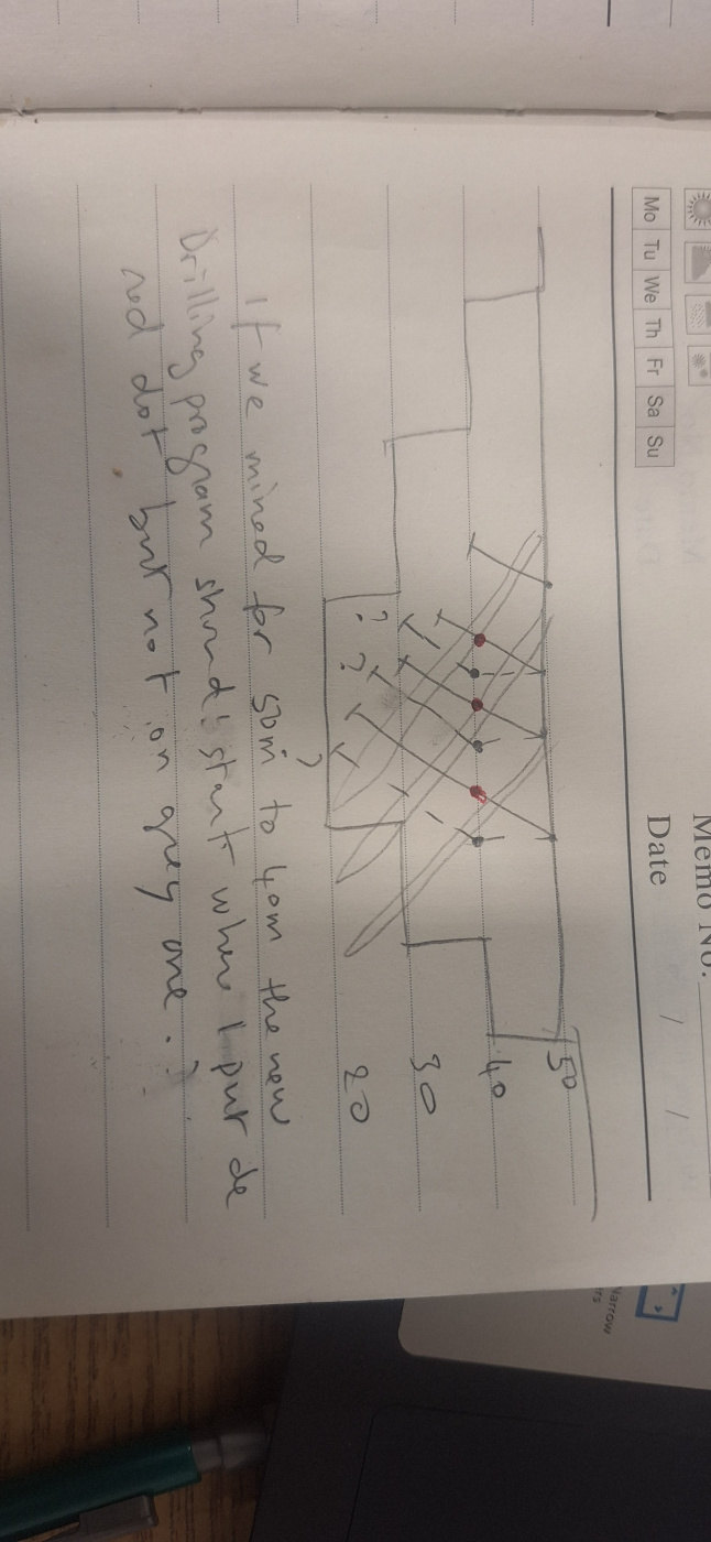
Charles, I can see from your notes in your picture that you are trying to create a grade control program, and your question is really about how to plan the collars for planning the next bench, not about reprojecting an existing hole. So I have two pieces of feedback. One is that if you WANT to project points along a vector, that's an easy thing to do in GIS. You could even calculate out the XYZ differences, and just run it as a calculation in excel, and move the collars as a point cloud.
However, this is not standard grade control practice. Your collars should not be essentially just repositioned along the line of the drillhole. You WANT your collars to drop vertically for each bench of drilling, because otherwise you won't ever sample the deeper parts of your ore body, and you WANT to continue to pierce your ore body in different places to test it. If you just keep drilling down the orientation of your drilling you won't get any new information about the ore body, as A) your pierce points are basically in the same place, and B) you aren't ever targeting the deepest parts of it.
I don't believe we can message each other directly through this platform, but if you would like to talk directly, you can reach me at ffraser@equilibriummining.com. I have designed and implemented several grade control modelling workflows for operating mines, and would be happy to have a discussion.
0
